
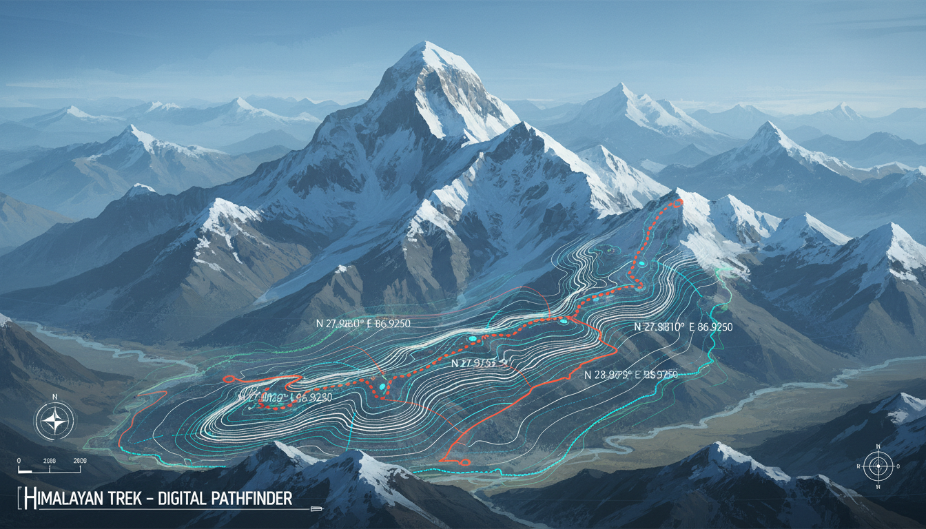
Uttarakhand’s ambitious trekking route mapping project will chart 100 major hiking and trekking routes across the state using GPS and GIS technology. The initiative represents the first comprehensive digital mapping system of its kind in India, aimed at reshaping how trekkers navigate the Himalayan terrain while improving rescue response times and infrastructure planning.
The state government is developing an online-offline GPS navigation app alongside the mapping work. Trekkers will access detailed route information and navigation even in areas without mobile network coverage—a critical feature in Uttarakhand’s remote mountain regions where connectivity remains patchy.
What the Trekking Route Mapping Project Covers
The scope extends beyond simple route trackers. Government teams will identify suitable locations for campsites, toilets, and dustbins along each of the 100 routes. This dual focus on navigation and infrastructure marks a shift toward structured adventure tourism in the state.
According to reports, the project aims to enhance trekker safety and streamline rescue operations. Better route data will allow rescue teams to locate distressed trekkers faster. More precise trail information reduces the risk of trekkers getting lost or stranded.
Infrastructure mapping addresses waste management too. By identifying where to place dustbins, the state hopes to reduce litter along popular routes—a persistent problem as trekking traffic has grown.
Safety and Rescue Operations
Trekker safety has become urgent for Uttarakhand. Every season brings reports of lost trekkers, altitude sickness incidents, and weather-related emergencies. Officials say GPS-mapped routes will cut rescue response time significantly.
Rescue teams currently work with incomplete or outdated trail information. Real-time location data from the new app could change that entirely. Trekkers reporting emergencies can share precise coordinates. Responders know exactly which route segment to search.
The offline functionality matters enormously. Many trekking routes pass through dead zones. A navigation app that works without signal keeps trekkers oriented even when phones cannot reach towers.
Promoting Sustainable Adventure Tourism
Uttarakhand depends heavily on adventure tourism. The state attracts thousands of trekkers annually to routes like Chopta, Auli, and the Valley of Flowers. Yet growth has strained these destinations.
The mapping project doubles as a sustainability tool. By identifying capacity limits on campsites and rest areas, planners can prevent overcrowding. Designated waste collection points reduce environmental damage.
Infrastructure investment follows data. Authorities can now prioritize which routes need better facilities based on actual usage patterns and geographic conditions.
Why Uttarakhand Moved First
The state aims to be India’s pioneer in implementing such a comprehensive trekking route mapping and navigation system. No other Indian state has attempted this scale of GPS-GIS mapping for trekking routes.
Neighboring Himachal Pradesh and Nepal have smaller, fragmented systems. Uttarakhand’s 100-route project will be the largest integrated digital trail network in the region.
The decision reflects Uttarakhand’s position as India’s adventure tourism capital. The state government recognized that better route data directly supports both safety and economic growth.
The Navigation App: Design and Features
The app will function entirely offline. Trekkers download route files before heading out. Maps, trail markers, and navigation instructions work without internet connection.
Users can mark waypoints, log GPS coordinates, and share their real-time location with emergency contacts. The app will include altitude data, estimated trek duration, and difficulty ratings for each route.
Campsites and facilities marked on the app help trekkers plan overnight stops. Sanitation facilities get pinpointed so users know where toilets are located.
Weather alerts and seasonal advisories will be built in. Trekkers can check if routes are safe to traverse during monsoon or winter months.
Implementation and Timeline
The mapping work involves field surveys across all 100 routes. GPS data collection is already underway in several regions. GIS professionals are compiling this data into the navigation platform.
State agencies will test the app with trekking groups before full public release. Feedback from experienced trekkers will shape final features and interface design.
No official deadline has been announced, but officials expect the first phase of mapped routes to go live within the coming year.
FAQ
Q: Will the trekking route mapping app cost money to use?
A: No pricing details have been announced. The app is being developed as a public service initiative by the Uttarakhand government, suggesting it will likely be free for trekkers.
Q: Can the offline GPS app work on all smartphones?
A: The app is designed as a general GPS navigation tool, but specific compatibility details haven’t been released. It will likely support both iOS and Android, though official specifications will clarify this once the app launches.
Q: Which trekking routes will be mapped first?
A: The government hasn’t released a prioritized list. Major popular routes like those in the Valley of Flowers region and Auli are likely among the first 100, but the exact sequence hasn’t been publicly specified.
Q: How accurate will the GPS mapping be?
A: GIS technology provides accuracy within 5-10 meters on well-maintained trails. Real-world accuracy on steep terrain or dense forest sections may vary, so trekkers should still carry physical maps as backup.
Q: Who can use the navigation app—only experienced trekkers?
A: The app is being designed for all trekker skill levels. Difficulty ratings and safety information will help beginners choose appropriate routes while experienced trekkers access more challenging paths.
