
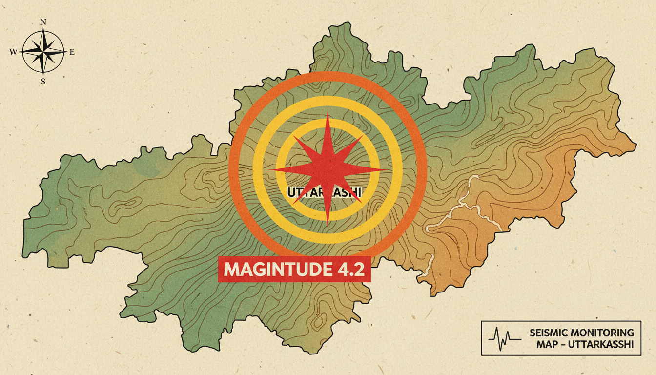
An Uttarkashi earthquake measuring 4.2 on the Richter scale shook the region on Saturday night, rattling nerves across the district and surrounding areas. The tremors struck at 8:07:30 PM with its epicentre located roughly two kilometres northwest of the Uttarkashi district headquarters.
The earthquake registered a focal depth of 11 kilometres. Such moderate-magnitude quakes are not uncommon in Uttarakhand, which sits in a seismically active zone. This particular tremor, however, brought immediate attention given its proximity to the district headquarters and the timing during evening hours when residents were indoors.
The Uttarkashi Earthquake 4.2 Magnitude Details
The quake struck with precision timing documented by seismic monitoring networks. The epicentre’s location—just two kilometres northwest of town—meant residents across Uttarkashi felt the movement directly. No epicentre far out at sea meant no buffer zone for the impact.
The focal depth of 11 kilometres placed the rupture relatively shallow. Shallower earthquakes typically cause stronger surface shaking than deeper ones. This depth range falls into what seismologists call the upper crustal layer, where most damaging earthquakes originate.
Saturday’s tremor unfolded over seconds but rippled across multiple districts. People in Dehradun, the state capital roughly 150 kilometres south, reported feeling minor tremors. The wave propagation carried the seismic energy outward in all directions, weakening with distance.
Uttarakhand’s Seismic History
Uttarakhand straddles one of India’s most active fault zones. The region experiences frequent low-magnitude earthquakes as tectonic plates shift and settle. The 1999 Chamoli earthquake, which measured 6.8 magnitude, remains the most destructive event in recent memory for the state.
Saturday’s 4.2 magnitude quake pales in comparison to that 1999 event. Still, residents familiar with the region’s geological instability took the tremors seriously. Emergency services remained alert but reported no immediate damage or casualties.
The Uttarkashi district itself sits in particularly vulnerable terrain. Steep mountain slopes combined with seismic activity create conditions for potential landslides. Buildings constructed on hillsides face amplified risk during significant ground shaking.
Response and Safety Precautions
District authorities moved quickly to assess the situation after the tremors subsided. Communication systems allowed officials to check on residents across Uttarkashi within minutes. No structural collapses were reported in the immediate aftermath.
Residents took the earthquake as a reminder to review safety protocols. In earthquake-prone regions, knowing how to respond—drop, cover, and hold on—remains vital. Families often keep emergency supplies and first aid kits on standby given the district’s seismic exposure.
Building codes in Uttarakhand have tightened over the past two decades. Government structures now incorporate earthquake-resistant design principles. Older buildings, however, remain vulnerable and represent a concern for disaster management officials.
Understanding Magnitude vs. Impact
A 4.2 magnitude earthquake sits in the moderate range on the Richter scale. People typically notice such quakes; objects shake and minor rattling occurs. Magnitude 5.0 and above start causing potential property damage depending on building quality and depth.
The difference between 4.2 and 5.0 may seem small numerically. In seismic terms, each step up represents roughly 30 times more energy release. This exponential relationship explains why magnitude matters so much in earthquake science.
Uttarkashi’s 4.2 magnitude tremor caused observable effects but fell short of the threshold for widespread structural damage. Still, for residents unaccustomed to seismic activity, the experience proved memorable and unsettling.
Monitoring and Future Preparedness
The Wadia Institute of Himalayan Geology and other research bodies maintain seismic monitoring networks across Uttarakhand. These networks record thousands of small earthquakes annually, most imperceptible to humans. Saturday’s event provided another data point in the ongoing study of regional tectonics.
Scientists use such records to refine hazard assessments and building code recommendations. Long-term monitoring helps identify patterns and potential precursor activity before major quakes. The data collected from events like Saturday’s tremor feeds into disaster preparedness planning.
Government agencies continue updating emergency response procedures. Regular drills remind residents of evacuation protocols. Communication networks remain tested to ensure rapid information flow when needed most.
FAQ
Q: How often do earthquakes of this magnitude occur in Uttarkashi?
A: Moderate earthquakes measuring between 4.0 and 4.9 occur several times per year across Uttarakhand. Smaller tremors happen constantly but go unnoticed by most people.
Q: What was the exact time the Uttarkashi earthquake struck?
A: The earthquake occurred at 8:07:30 PM on Saturday night at an 11-kilometre focal depth.
Q: Could Saturday’s tremor trigger aftershocks or a larger quake?
A: While aftershocks sometimes follow moderate earthquakes, they typically decrease rapidly in frequency and magnitude. This quake does not predict a major earthquake, though Uttarakhand’s seismic activity remains ongoing.
Q: How should residents prepare for future earthquakes in Uttarkashi?
A: Secure heavy furniture to walls, identify safe spots in homes, keep emergency supplies accessible, and practice drop-cover-hold-on drills regularly. Knowing evacuation routes and assembly points helps during real events.
Q: Is a 4.2 magnitude earthquake dangerous?
A: A 4.2 magnitude earthquake causes noticeable shaking and minor damage to older buildings. Modern earthquake-resistant structures typically withstand such tremors with minimal or no damage.
